 vesseltracker.com
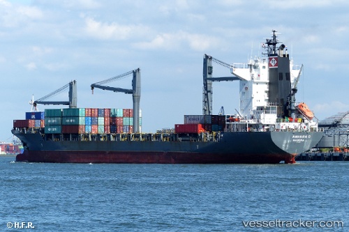
Vessel MSC PANAYA IMO: 9217565, MMSI: 636020343 Container Ship
UTC, 7.32767, 78.50266, course: 291, speed: 14.6
UTC, 7.32767, 78.50266, course: 291, speed: 14.6
2026-02-20 09:50:32 UTC, 7.32767, 78.50266, course: 291, speed: 14.6
Live AIS position:
UTC. 80 nm W of Negombo),
updated 2026-02-20 09:50:32 UTC.
Find the position of the vessel MSC PANAYA on the map. The latter are known coordinates and path.
marine traffic ship tracker show on live map
The current position of vessel MSC PANAYA is 7.32767 lat / 78.50266 lng. Updated: 2026-02-20 09:50:32 UTCCurrently sailing under the flag of Liberia
MSC PANAYA built in 2000 year
Deadweight:
22967 tDetails:
Last coordinates of the vessel:
UTC, 7.14676, 79.00304, course: 291, speed: 12.8UTC, 7.32767, 78.50266, course: 291, speed: 14.6
UTC, 7.32767, 78.50266, course: 291, speed: 14.6
2026-02-20 09:50:32 UTC, 7.32767, 78.50266, course: 291, speed: 14.6